تعليق رسمي

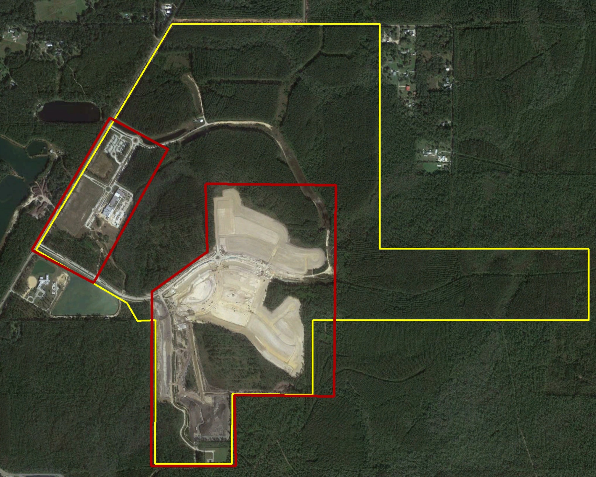
Collect the data for each of the two red sections as if you were going to treat them as individual maps, because they are. Since the red areas don't intersect you shouldn't upload them all at the same time.
From the Data Collection guidelines:
- Contiguous - All images must share a common boundary. Don't upload non connecting sections or separate islands of coverage.
If you uploaded them all to be processed as one map you would likely just get one or the other, not both.
If you want to have the two adjacent areas in the same web map you would combine them in a Location Map.
https://support.dronesmadeeasy.com/hc/en-us/articles/207455313-Creating-a-Location-Map
إجراءات التعليق