Bài đăng

2 người theo dõi Theo dõi
0
Avatar

Evo2Pro Image EXIF and MME

Hi Zane,

It seems like MME is not able to read the reported altitude in the Evo's images. Are you aware of this?  Attached is what MME reports and a copy of the exif data as seen by Exiftool.

(Classic workflow)

Thanks, Dave


Dave Pitman

Bình luận chính thức

Avatar

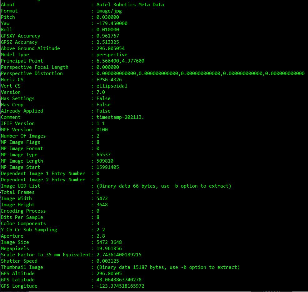
The altitude that is being reported there is the GPS derived altitude. We use that in the processing if we can't find a Relative Altitude value in the XMP tags. Without the Relative Altitude value we can't accurately estimate the AGL and GSD. Autel doesn't have XMP tags like DJI, Parrot and Skydio... We would love it if they did!

Zane
Thao tác bình luận Đường dẫn cố định

Vui lòng đăng nhập để lại bình luận.

4 bình luận

0
Avatar

Okay, but I thought MME used the alt. of the take-off image to determine relative alt more so than xmp. ?

I'm not personally concerned with what MME thinks the elevation is because I can just adjust the surface in QGIS or Global Mapper if I need to.  Or, use Metashape with GCPs.

But this came up from someone in another forum starting out in mapping and was asking about MME processing and why it didn't see an altitude in their E2P images.  I had not noticed.

Dave Pitman 0 bình chọn
Thao tác bình luận Đường dẫn cố định
0
Avatar

Without that relative altitude number in the tags we can't find the takeoff image reliably. Not every one uses Map Pilot Pro to fly and people have all sorts of crazy filenames so there isn't really anyway for us to know especially since the GPS fix can be off by 100 meters between powerups. 

Zane 0 bình chọn
Thao tác bình luận Đường dẫn cố định