AutoCad is not "geo-aware" A picture is just a picture. If you want to import a geotiff into Civil 3D, this may help.
https://envisioncad.com/autocad-civil-3d-tip-properly-position-geotiff-images/
Thao tác bình luận
Vui lòng đăng nhập để lại bình luận.
AutoCad is not "geo-aware" A picture is just a picture. If you want to import a geotiff into Civil 3D, this may help.
https://envisioncad.com/autocad-civil-3d-tip-properly-position-geotiff-images/

How do you export file/map you created as the Tiff
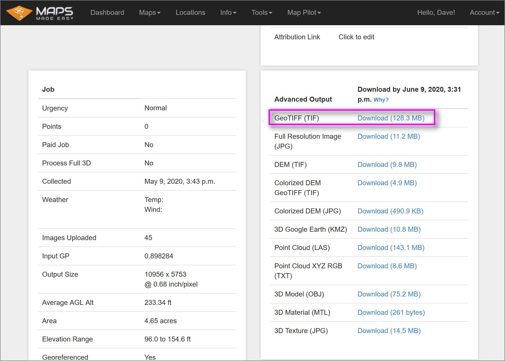
A geotiff (.tif) is one of the files that is generated with your map. In your dashboard on the lower right you will find it with all the files that you can download.