Bình luận chính thức

Please view this file in a GIS software such as QGIS which handles float data better than standard viewers will.
Thao tác bình luận

I flew a project called DogsHeadMarsh in June. The DEM.tif is just a black background with a white area that is the marsh. 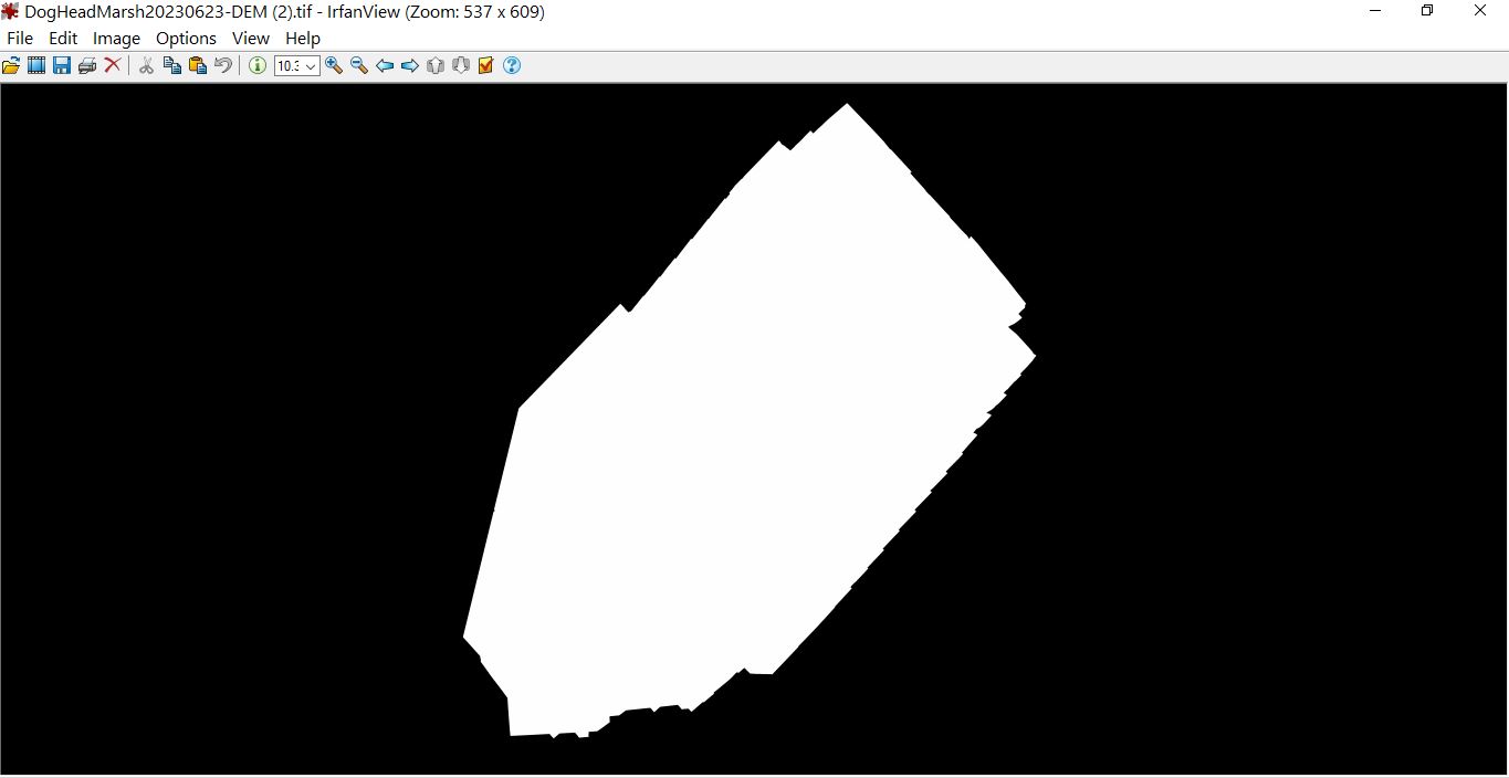
Please view this file in a GIS software such as QGIS which handles float data better than standard viewers will.
Vui lòng đăng nhập để lại bình luận.