Bình luận chính thức

We can only respond to questions made in English. Please give us a description of what you were trying to do when this error was received.
Thao tác bình luận

Não consegui realizar a missão no modo terreno. O programa informou-me o seguinte problema: Prepare Mission Failed: Error Domain = Código DJISDKMissionErrorDomain = -5121 "O waypoint tem uma altitude inválida (código: -5121)" Userinfo = {NSLocalizedDescription = O waypoint tem uma altitude inválida (código: -5121)}.
No campo, criei uma nova missão com menor altitude, mas o programa me informou sobre o mesmo problema. O que eu preciso fazer para corrigir esse erro?
We can only respond to questions made in English. Please give us a description of what you were trying to do when this error was received.
Vui lòng đăng nhập để lại bình luận.
Okay, repeating!
I was unable to perform the mission in terrain mode. The program informed me of the following problem: Prepare Mission Failed: Error Domain = Code DJISDKMissionErrorDomain = -5121 "The waypoint has an invalid altitude (code: -5121)" Userinfo = {NSLocalizedDescription = The waypoint has an invalid altitude (code: 5121).
In the field, I created a new mission with lower altitude, but the program informed me about the same problem. What do I need to do to fix this error?
Did your aircraft have a home point and at least 10 valid satellites?
Can you please take a screenshot of the terrain plot and post it here so we can see if there is anything weird?
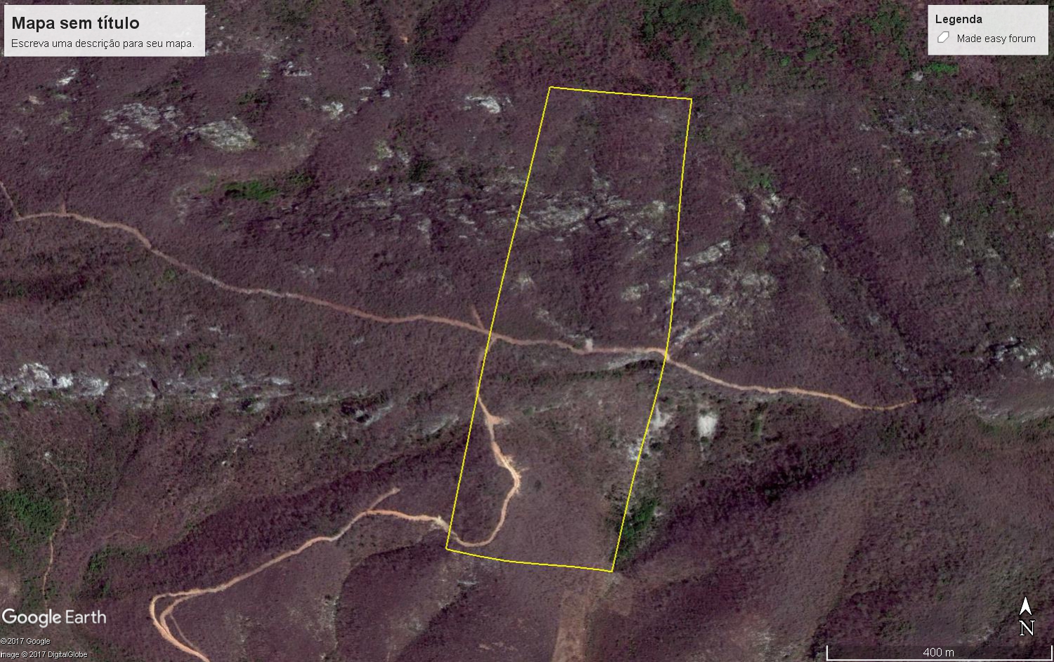
Yes. this work I did last month, the image I captured today. in the day was with 17 satelites and home point recognized.
Can you please post the Map Pilot screenshot so we can see what you are seeing? Google Maps screenshots don't show us anything.

This still doesn't really help. Can you please post a Map Pilot screenshot that shows the elevation plot so we can see what it is trying to load? Are non-terrain aware missions working for you?