Publicação

2 seguidores Seguir
0
Avatar

Problems with Terrain Awareness

Hello, I have been trying to make flight plans in a bit mountainous areas, but when I try to create the elevation profile, falls appear that do not correspond to the real terrain, attached images.

Map Pilot Business 4.0.8
Ipad mini 4, iOS 13.2


Thanks I hope your prompt response.

Renato Valladolid

Comentário oficial

Avatar

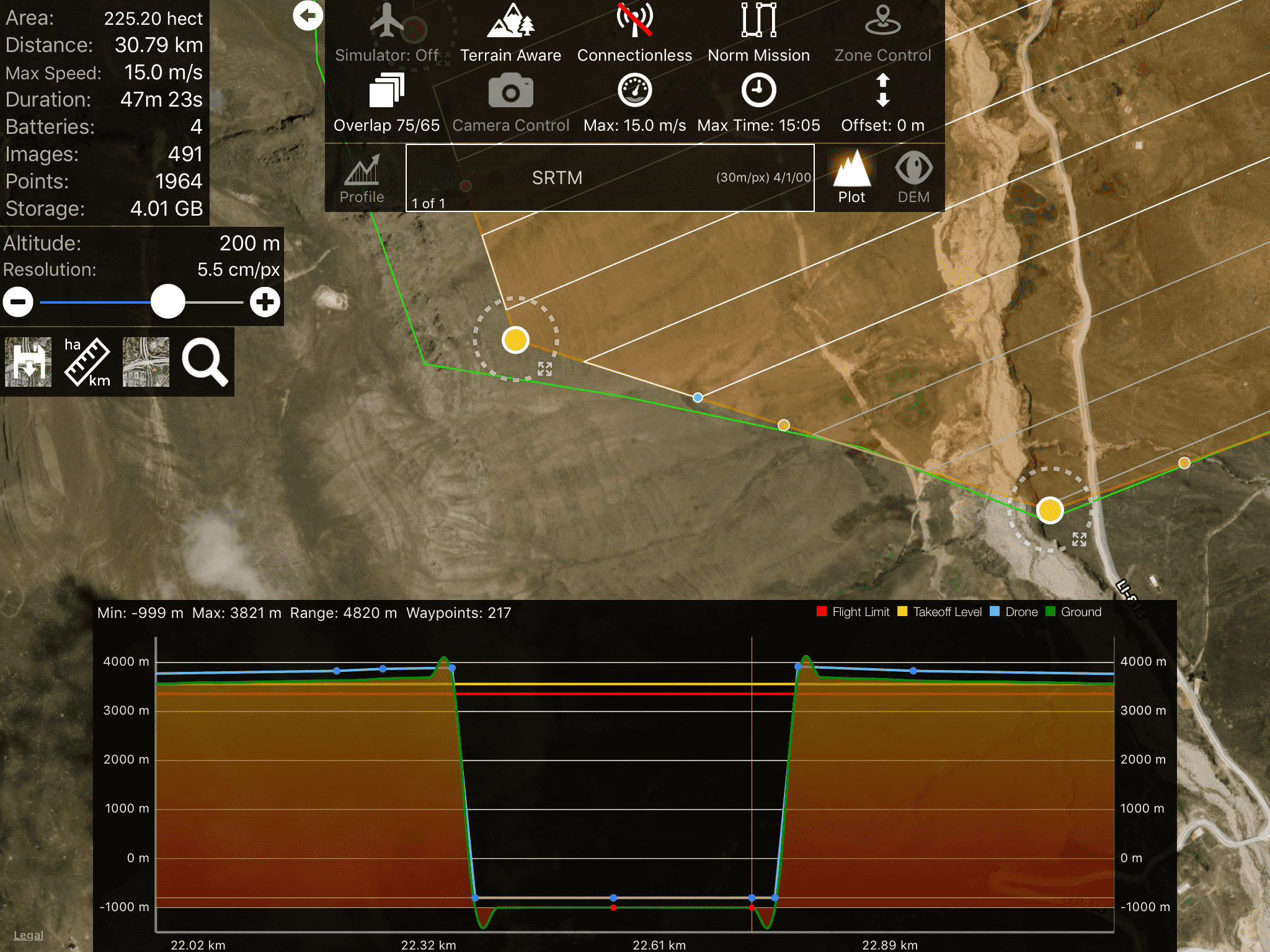
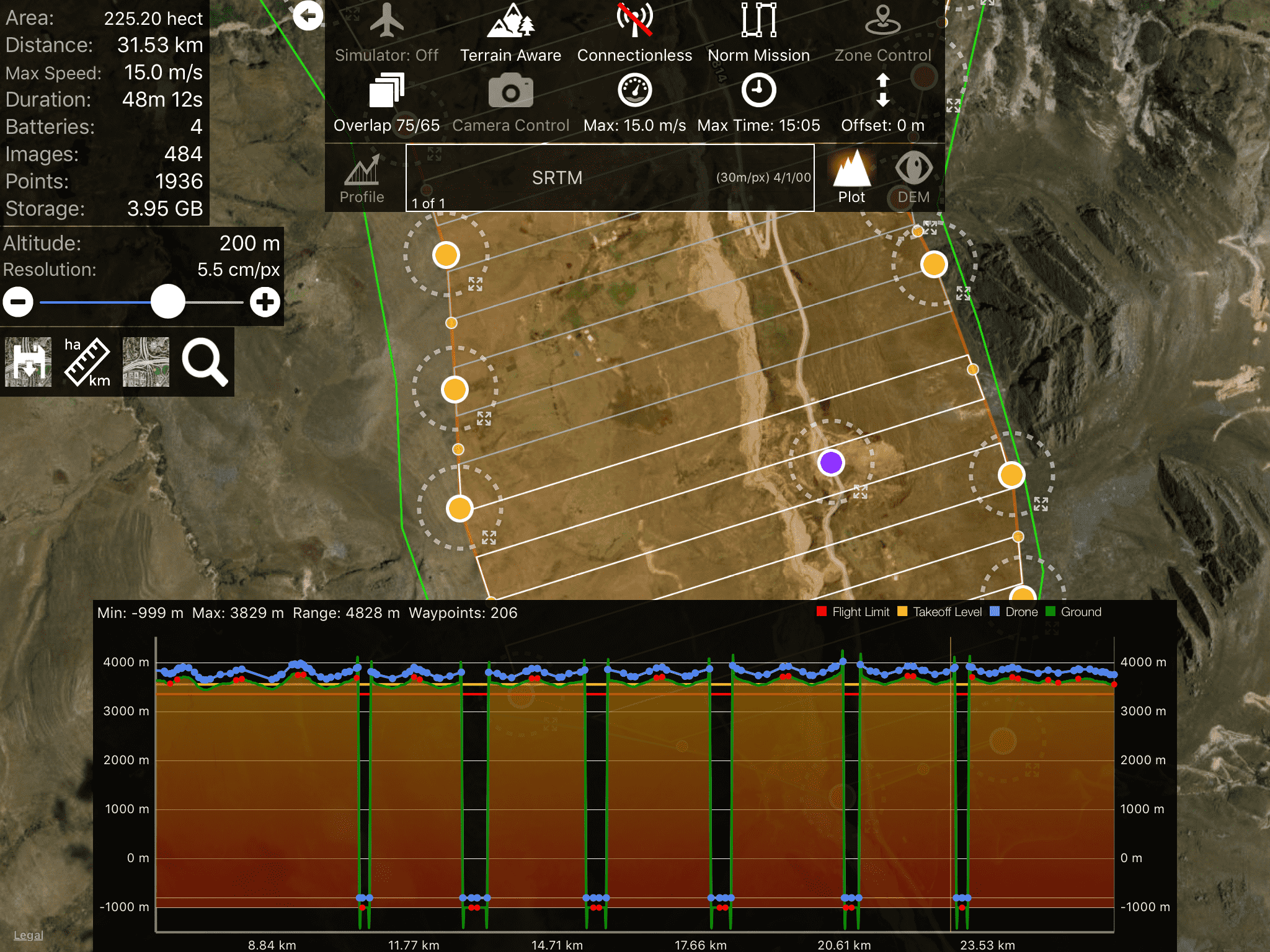
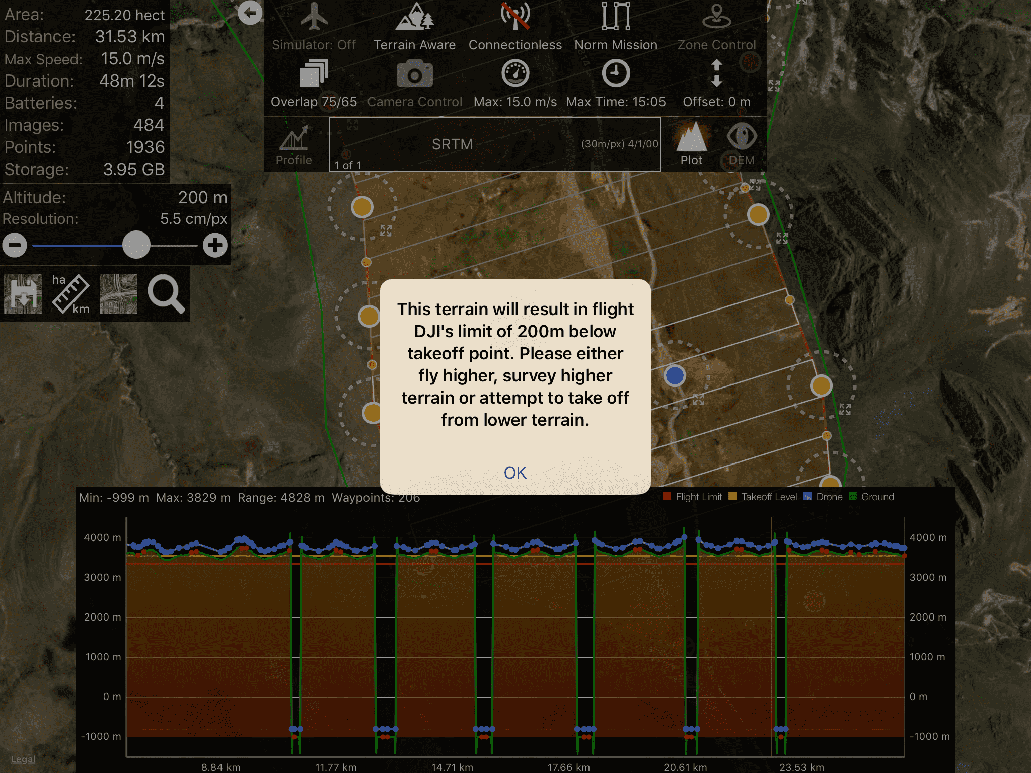
Those gaps represent places that are missing data in the SRTM data that we are using. Sorry, but basically there is nothing that can be done about this until we update with the new version of the void filled data that was recently made available. 

Zane
Ações de comentário Permalink

iniciar sessão para comentar.

4 comentários

0
Avatar

Thanks for answering, what can I do? I have to make maps in that area and several surrounding areas that have the same problem. I don't think it's right to have to pay to load the topographic information that should be available.
In any case, when will this information be available?

Renato Valladolid 0 votos
Ações de comentário Permalink
0
Avatar

The topographic information is the data that is made available by NASA. We can't fix it if NASA can't... 

If you want to source your own terrain data you can do so and process it into a compatible data source:

https://support.dronesmadeeasy.com/hc/en-us/articles/360021867012-Arbitrary-DEM-Preparation-for-use-as-a-Custom-Terrain-Source

Then you use this to use the new source in the app:

https://support.dronesmadeeasy.com/hc/en-us/articles/360000745623-Custom-Terrain-Source-for-Terrain-Awareness

Zane 0 votos
Ações de comentário Permalink
0
Avatar

Starting with Android version 1.4.0 and iOS version 5.5.0, Map Pilot Pro's Terrain Awareness feature will have options for ASTER, Copernicus, SRTM and any other datasets we can add as built-in Terrain Awareness Data Sources. Copernicus is 30 meter data and is essentially global at 89 to -89 degree coverage (everything but the poles). US users now have access to 10m data from 3DEP/NED.

Having multiple independent terrain data source choice makes it so you have options if one data source has missing data in your operating location. 

We recommend using Copernicus for most work. 

You can read more about the Terrain Data Sources that are currently available here:

https://support.dronesmadeeasy.com/hc/en-us/articles/14697118095380-Built-in-Terrain-Data-Sources

Zane 0 votos
Ações de comentário Permalink