Publicação

2 seguidores Seguir
0
Avatar

Determine elevation of a single point on the map

I am flying a DJI P4Pro RTK tied to a base station with known and corrected coordinates on a job site.    How can I stitch this data, and select a specific point, to see the elevation?   Similar to selecting a point and right clicking to get the coordinates.

The use case for this is to try to profile the elevation of newly placed bridge beams, or the supports prior to setting the beams to display elevation on these specific points.  

Thanks

Jack

Jvhooser

Comentário oficial

Avatar

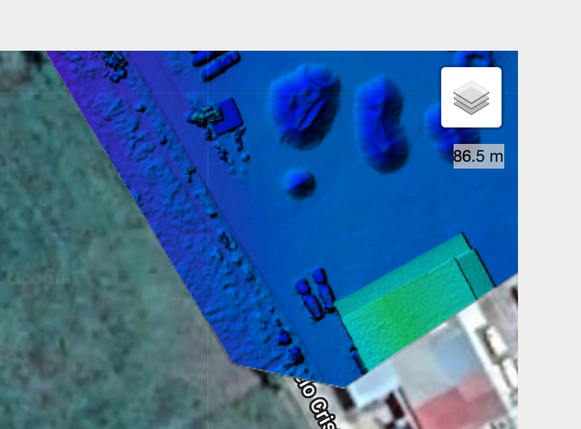
You can either look at the DEM values in GIS software or hover over the processed map area and look in the upper right corner. When you hover over an area that was photogrammetrically processed and has an elevation result the value will be shown. 

For sensitive work like calculating a beam profile you are likely going to want to get good at using GIS software. 

Zane
Ações de comentário Permalink

Por favor, entrar para comentar.

1 comentário