
Comentário oficial

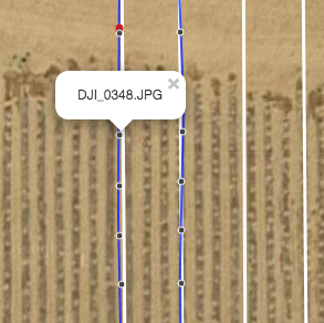
Not really in the overlap report. You can click on the image location dots at the time of upload so you can see the file name there.
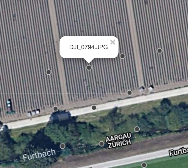
You can also see what file might have contributed to an area in the Flight detail view.
Ações de comentário