

It sounds like you maybe started a new account that was not where you had the mission data saved previously. Otherwise, you could have just synced it all in by hitting the 'Sync' button.
The terrain awareness is calculated at the time of flight. Depending on what your subscription level is it could be using a different terrain data source. They should be close though...
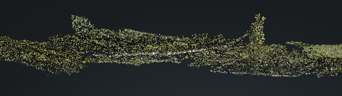
You can't generally do photogrammetry with images that are collected at different times because the differences in the lighting will make it so the features don't match. Not sure what you are mean with the metadata, please provide examples.
I don't see an account for you in our system so I can't see what is going on in there. Let us know what your username is so we can look up the account.