게시물

팔로워 2명 팔로우
0
Avatar

Map Pilot and Maps Made Easy Terrible Marshmallow Result

Good Day,

I used the business version of Map Pilot and my Mavic Pro to capture a grid pattern survey of a home. I used Maps Made Easy to process the files, standard options selected plus full 3D render. The 2D map looks alright, but the 3D model looks terrible. The home looks very 'marshmallow-like'. Does anyone have any suggestions?

Brandon Derrick

댓글을 남기려면 로그인하세요.

댓글 5개

0
Avatar

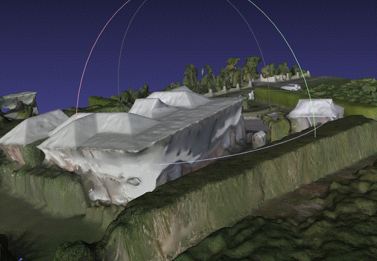
We don't generally recommend using circular flight. As noted in our Data Collection guidelines which are agreed to at the time of upload:

"Never Fly Backwards or Sideways - Collect all of your data while traveling forward. Most aerial cameras have rolling shutters and mixing forward and backward flight ruins the chances of the job turning out well."

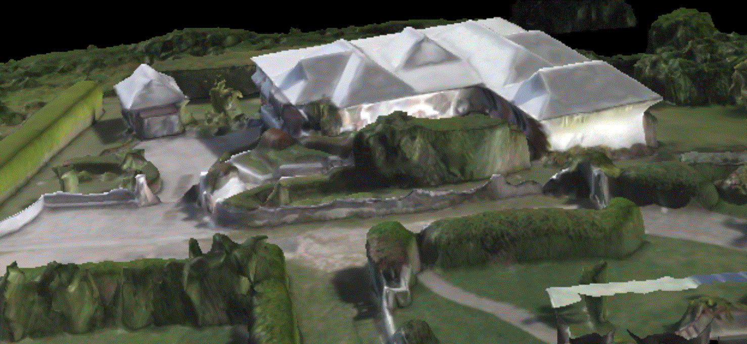
I don't know what marshmallow like would be describing but make sure you are looking at the full resolution 3D model in Meshlab or something like that, not just the web preview. 

Zane 0 표
댓글 작업 고유 링크
0
Avatar

Hi Zane,

Thanks for the response. I had an issue using the orbits, and used only the flat flight pictures that I took through Map Pilot.

I would like to get a file that appears in a similar way to the web preview, with the full colours. In MeshLab, I get an all-white structure.


This is what I mean by marshmallow-like. Any suggestions?

Brandon Derrick 0 표
댓글 작업 고유 링크
0
Avatar

Make sure you download the MTL and JPG texture file into the same directory as the OBJ file so Meshlab can find them. They are what does the color mapping.

Zane 0 표
댓글 작업 고유 링크
0
Avatar

This is the result that I am getting out of MeshLab. I am not sure why my structure looks like this. It is quite frustrating as I bought the business version and bought points to do this.


Do you think that there was an issue with the stitching? The 2D map looks alright, but the 3D looks like this. I selected full 3D render when processing (which was an extra 0.5x points)

Brandon Derrick 0 표
댓글 작업 고유 링크
0
Avatar

I flew using a grid mission in Map Pilot Business, with a lot of overlap, as seen in the picture. My average altitude was 156.7 ft.

Brandon Derrick 0 표
댓글 작업 고유 링크