
공식 댓글

You can use our Location Map feature to layer the different maps on top of each other or you can use GIS software such as QGIS to "merge the rasters".
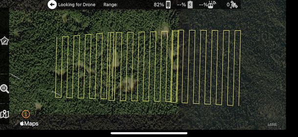
You can process data from multiple flights together as a single processing job as long as the lighting was consistent throughout. Doing one section one day and coming back to continue on another day may lead to problems if being processed into the same map.
댓글 작업
