공식 댓글

You need to select epsg:4326 (WGS 84) as the projection to correct for the ratio between latitude and longitude degrees changing as you move further north or south from the equator.
댓글 작업

Hello there,
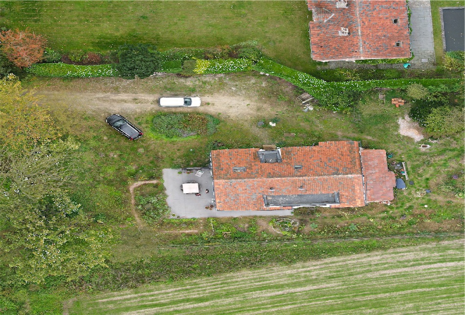
when importing the GeoTiff file for one of my maps into Vectorworks or QGis (I tried both to see the difference, but the problem remains the same in both programs) the GeoTiff becomes horizontally stretched and distorted. What is happening here? How to solve this problem?
Thank you

You need to select epsg:4326 (WGS 84) as the projection to correct for the ratio between latitude and longitude degrees changing as you move further north or south from the equator.
댓글을 남기려면 로그인하세요.
Tried this within QGis but still doesn't change the image
The coordinate information and measurements will be correct. You may need to change the projection display to meters or something like that.
Look up your area here: https://epsg.io/
Then use that local area projection to get squared results in the projection window.