
Komentar resmi

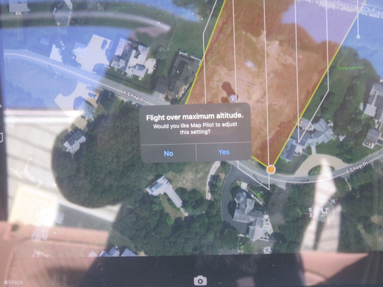
When the aircraft is under waypoint flight that is programmed by Map Pilot it will honor your flight height setting. BUT when you hit return to home it is no longer looking at the elevation difference any more and will just go straight. We have to take into account the possibility that someone flew up over a hill so we try to add 40 meters to the highest terrain that was encountered in the mission planning to use as the return to home height. We know this isn't perfect but it is something we have to plan for and work with.
Setting the max height in DJI Go won't take terrain changes into account either. That is likely why the flight didn't upload properly. You put a limit in there and Map Pilot was trying to program a flight that exceeds that value.
Declining the add the 40 meters does just that, it doesn't add 40 meters to the maximum return to home value and it will just return to home at whatever altitude it is currently flying at.
1. The max height would have been set to 180 ft + 40 meters.
2. The best thing to do here is to program flights that you know you are going to be able to stay in RC connection for and are able to complete in one battery to keep it from going into RTH. If you do this it will follow terrain adjusted waypoint control for the whole flight.