Posting

2 pengikut Ikuti
0
Avatar

export mission plan as KML

Hi I would like to be able to export my mission plan as an image file or a KML. (without having to a simulation)  Reason is we get asked when applying for exemptions for altitude etc to provide a image of the flight and the transects. Something that exports the position of the mission plan with and an image would be just fantastic.

Great product though, very happy.

John Simpson

Harap masuk untuk memberikan komentar.

1 komentar

-1
Avatar

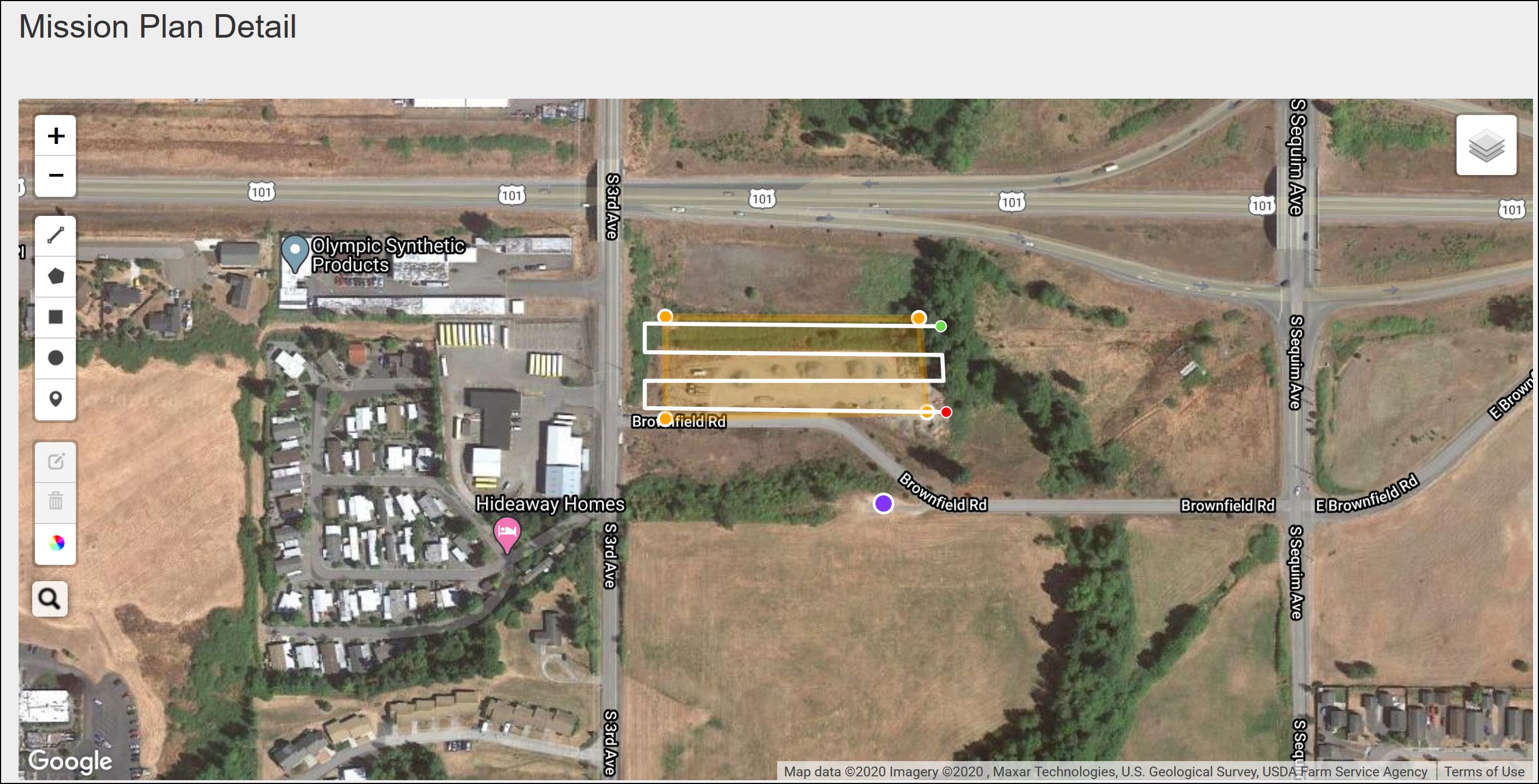
You could screen capture an image from the ios device, or sync the mission to the cloud and screen capture from the desktop.

If you only had the kml boundary, you would then need to add an extra step and overlay it in Google Earth or some other app to reference a base layer map or satellite image.

Dave Pitman -1 suara
Tindakan komentar Permalink