
Komentar resmi

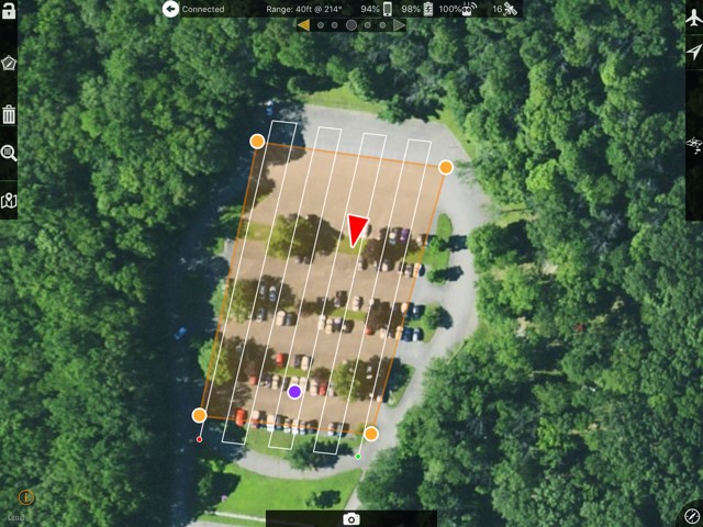
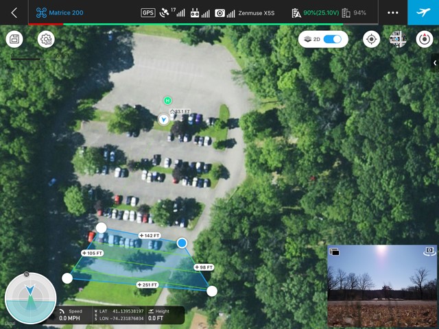
We show the aircraft location as it is reported to the app by the DJI SDK.
The DJI GPS is a consumer level GPS which as quoted can be off by up to 10 meters. This isn't usually the case. The longer you let it sit to get satellite information the more accurate it will be.
Our apps use Apple Maps as a basemap source. Others may use Google maps or other basemap sources. I will give you $100 if you can find an published spec for the accuracy of either... It isn't out there so don't bother looking.
This is a good things to check at all times though. If at any time you think something doesn't look right power cycle the aircraft and restart things. Check DJI Go for warnings too.
All that being said, it looks like it is within a few feet which is pretty normal.