
आधिकारिक टिप्पणी

We have responded to all of your email support requests. Please make sure that your email address can get emails from our dronesmadeeasy.com
---------------------------------
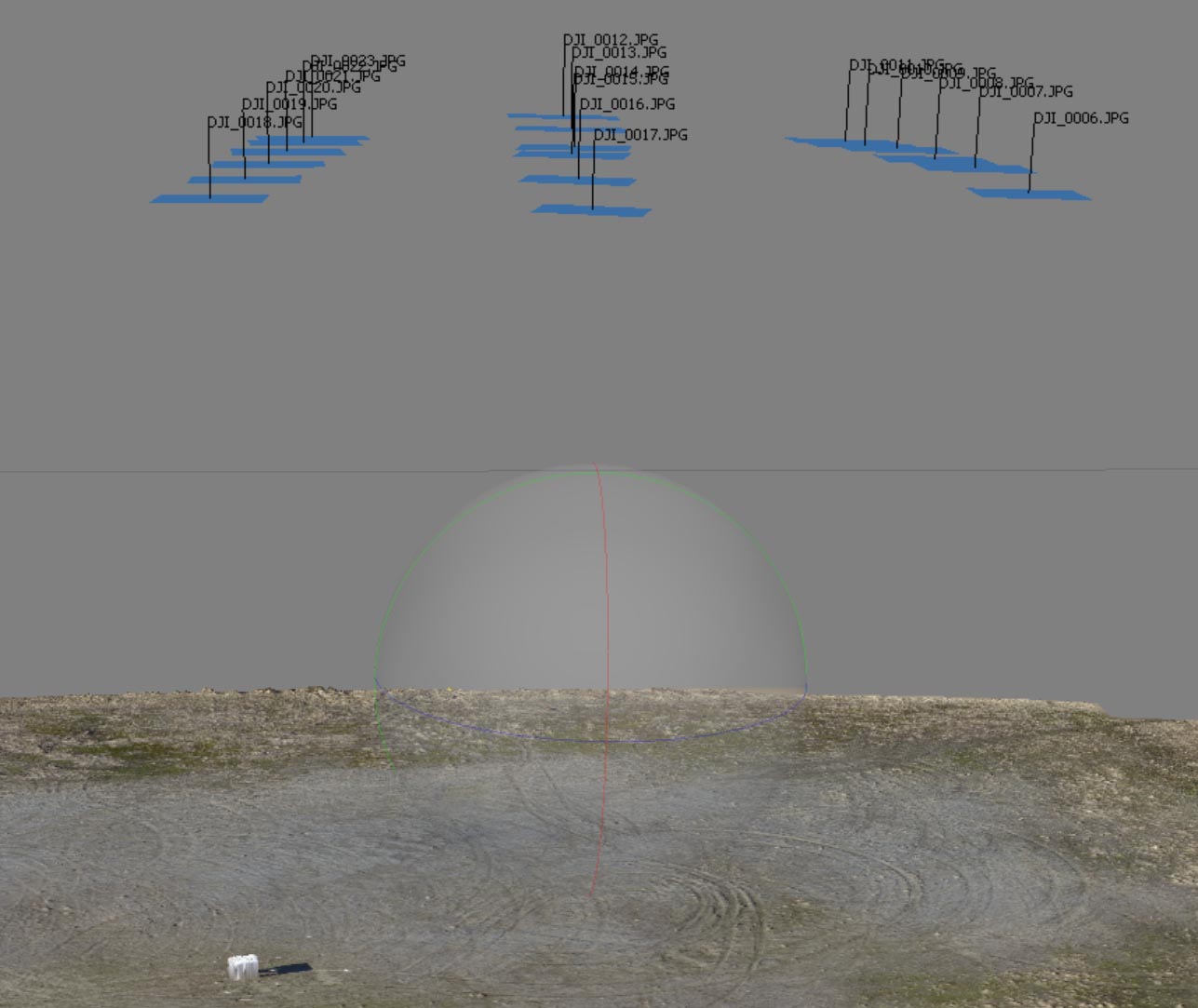
Sorry to hear you aren't happy with the results. You have a couple of odd things going on here. All of your 18 images were included in the processing but it appears that your data was collected by free flying. This takes images at different speeds and causes the calculated camera calibration data to be off which results in an artificially flattened elevation map. You can see that your elevation had a very compressed range.
We trim the jagged edges off the map around the area the aircraft traveled. Since the calibration data was off the whole thing got trimmed a bit closer in that it would otherwise.
We highly recommend the use of our Map Pilot app for data collection to avoid these issues.