Commentaire officiel

Please view this file in a GIS software such as QGIS which handles float data better than standard viewers will.
Actions pour les commentaires

I flew a project called DogsHeadMarsh in June. The DEM.tif is just a black background with a white area that is the marsh. 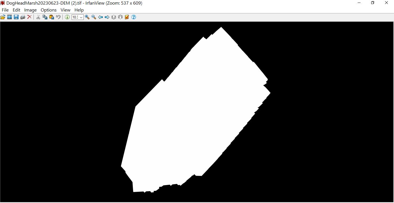
Please view this file in a GIS software such as QGIS which handles float data better than standard viewers will.
Vous devez vous connecter pour laisser un commentaire.