Publication

3 abonnés S’abonner
0
Avatar

Elevation Info in QGIS?

Hello Everyone, 


I'm trying to calculate my slope in qgis and noticed that my DSM file does not appear to have any elevation info. Is that info separate in the dashboard? 


Thanks for the help, 

Will 

William Lipscomb

Commentaire officiel

Avatar

Internally we use gdaldem for this kind of work but the link Dave provided is basically the process we use internally for slope work. 

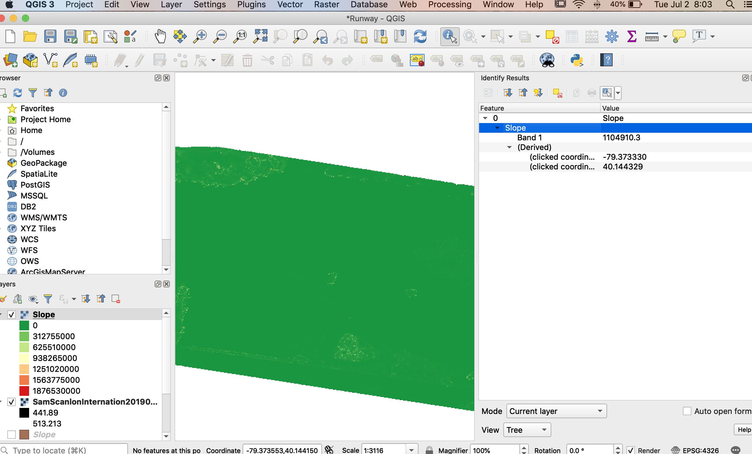
Keep in mind that you can't generate the slope from the processed contour image. You need to use the DEM as the source data for the slope stuff too. 

Zane
Actions pour les commentaires Permalien

Vous devez vous connecter pour laisser un commentaire.

4 commentaires

0
Avatar

You generated contours right? There must be elevation info.

Dave Pitman 0 votes
Actions pour les commentaires Permalien
0
Avatar

Yes, I did generate the contours.... When I try a slope analysis I don't see any useful data... This could be a simple qgis error as I'm new to the program.... Certainly based on the contours of my map it's not all 0 degrees of slope.. Maybe I don't understand where to find the information?


William Lipscomb 0 votes
Actions pour les commentaires Permalien