Publication

2 abonnés S’abonner
0
Avatar

Hybrid map layer street off

Not a real big deal;  is it a known issue that roads are pretty far off on the satellite hybrid maps?

Dave Pitman

Commentaire officiel

Avatar

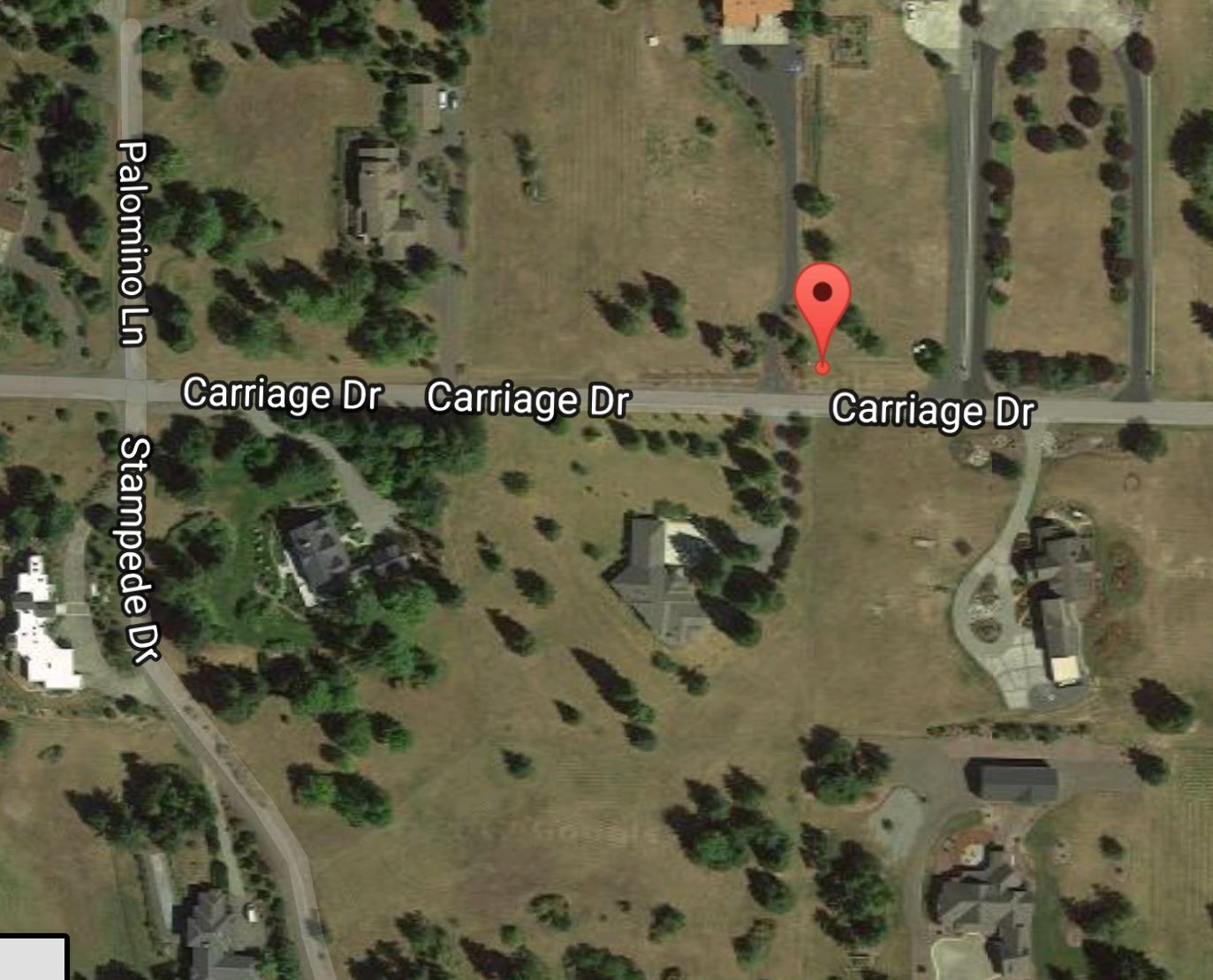
The data shown here is part of Apple Maps. We have seen it be off before but that is a pretty good example of it being WAY off. Sadly, I don't know what to tell you to trust in this case. 

The best thing to do would be to fly with the camera looking down to see which one (if any) is correct. 

To report the issue to Apple and hopefully get it fixed you can follow the instructions here:

https://support.apple.com/en-us/HT203080


Zane
Actions pour les commentaires Permalien

Vous devez vous connecter pour laisser un commentaire.

6 commentaires

0
Avatar

Zane,  when a mission is created, the default name includes a lat/long.  Where in the mission is that coordinate?

In order to cross check this particular map,  I took the coordinate and plotted it on Google maps and the image below shows where the pin is in relation to the apple image above.

If it's the top right area defining pin,  then it's pretty close.  If it's the take-off point, it's pretty far off.


Dave Pitman 0 votes
Actions pour les commentaires Permalien
0
Avatar

Perhaps you could add the ability for the user to supply their own Google API key and then use Google's maps?

Dave Pitman 0 votes
Actions pour les commentaires Permalien
0
Avatar

Bump...

The lat/long in the default file name of a saved mission is where in the mission please?

Dave Pitman 0 votes
Actions pour les commentaires Permalien
0
Avatar

The location that is used for the default saved mission title is the home point (purple dot or aircraft location).

Zane 0 votes
Actions pour les commentaires Permalien
0
Avatar

Flew this mission yesterday.  Yeah, Apple maps is way off in this spot.  Never knew that it is the street overlay that is what the gps references.

Luckily DD is using better maps.  I rarely use it but saved the day this time.

Would love to use Google maps and provide an api key if necessary.

Dave Pitman 0 votes
Actions pour les commentaires Permalien