
Comentario oficial

Australia is fully covered by the default SRTM data source.
Watch the video here for use:
https://support.dronesmadeeasy.com/hc/en-us/articles/211810943-Terrain-Awareness
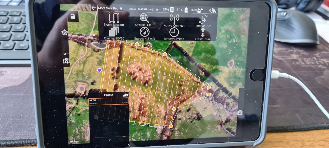
You have to have a flight plan designed before the options shows up. The panel shows on the bottom to the left.
Acciones de comentarios