
Official comment

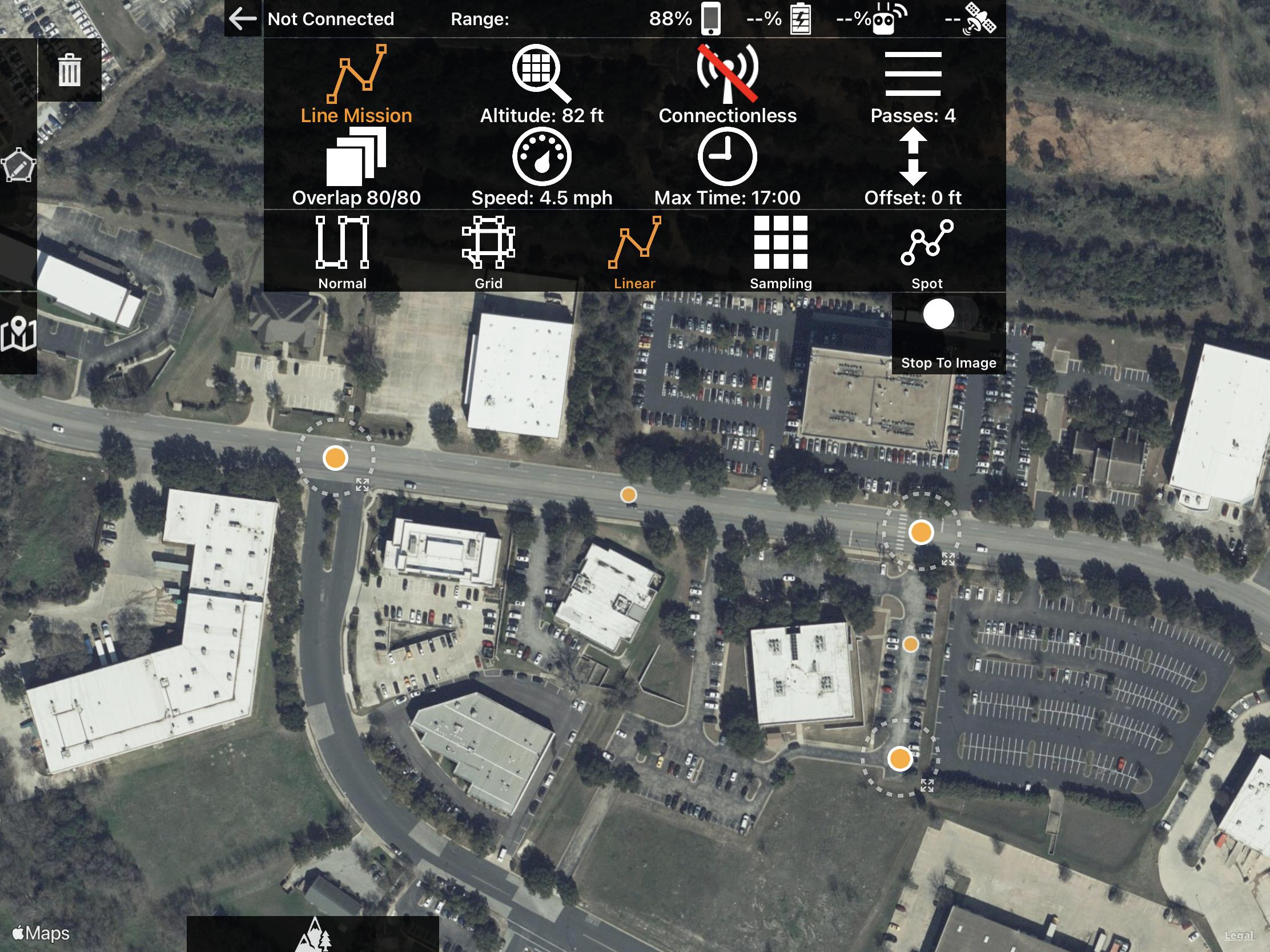
Either double tap to drop the anticipated home location (purple dot) or connect your aircraft so the app knows where you are. This is how we determine distances and estimate the number of batteries that will be required.
Comment actions