


تعليق رسمي

We are sorry to hear you are not happy with your results.
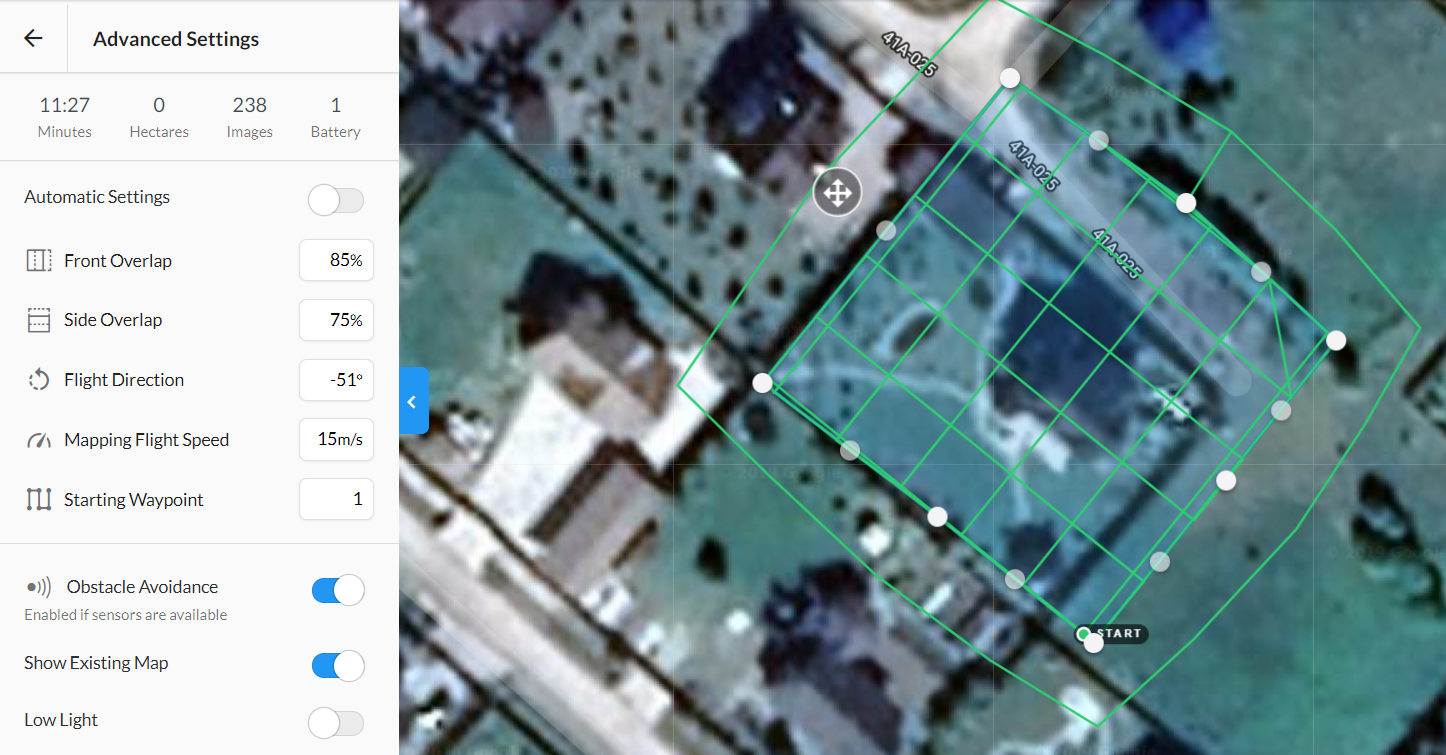
As noted in the Data Collection guidelines that are agreed to at the time of upload, sideways flight (orbit) is not recommended.
https://www.mapsmadeeasy.com/data_collection
"Never Fly Backwards or Sideways - Collect all of your data while traveling forward. Most aerial cameras have rolling shutters and mixing forward and backward flight ruins the chances of the job turning out well."
For 3D data collection we recommend flying a grid mission with the gimbal tipped up 20 degrees or so. Sideways orbit flight is awful when using a rolling shutter camera like yours (especially when you mix directions like you did).
Also, if the house is 10m high we recommend flying much higher than you did. That is the reason the top of the house didn't turn out well. This too is covered in the Data Collection guidelines:
"Don't Fly Lower than 4-5 Times the Height of the Tallest Object in the Survey Area
The taller the object, the less overlap it will get.
Our processing is based on getting multiple looks at things. Multiple looks at things are attained through overlap. A tall object will be viewed less often than an object on the ground and will likely have problems rendering. If the tallest object in your survey area is 10 meters, fly at least 40 meters above ground. Flying with minimal clearances is not only dangerous, it will produce imagery with blocked areas and generate poor results."
Yes, the overlap is sufficient but if you take the data doing all this other stuff it isn't likely going to work out well.