
Komentar resmi

The maps we create are already scaled with measurement tools built in.
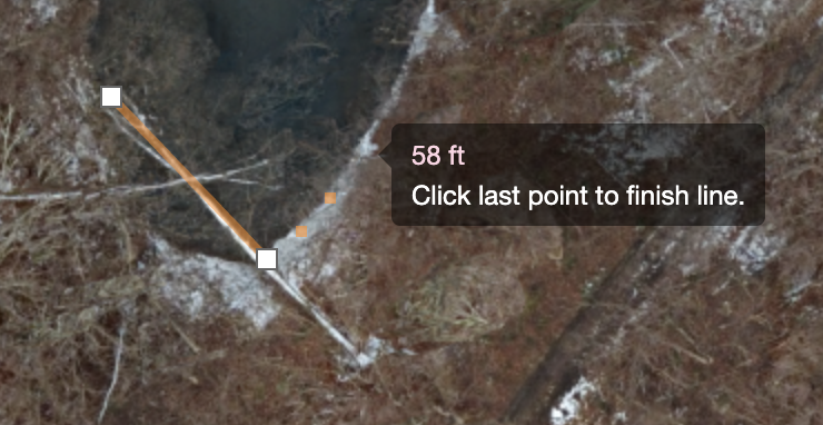
If you need more precision you can use GIS software to make your measurements on the GeoTiff images that are created.
Tindakan komentar