पोस्ट

3 अनुसरणकर्ता अनुसरण करें
0
Avatar

Questions

Hi, I am assuming the Lat/Lon datum is WGS84 (since it's overlaying on GE imagery)?

Please clarify

The Verical Datum (elevation) is ?

Is the a way of processing data in

State plane and feet in horizontal (NAD83)?
Is the a way of processing vertical in NAVD88?

What is the current setting tolerance, both Horizontally and Vertically?

I understand we can pseudo tie into control point makers, on google Earth but that mostly isn't very precise, can we upload GCP's, minimum 3, collected infield?

Have a great day.

Rex

Rex Roggasch

आधिकारिक टिप्पणी

Avatar

The entire system uses WGS84 for all products. Using other datums or getting other projections is possible using GIS software to convert it. 

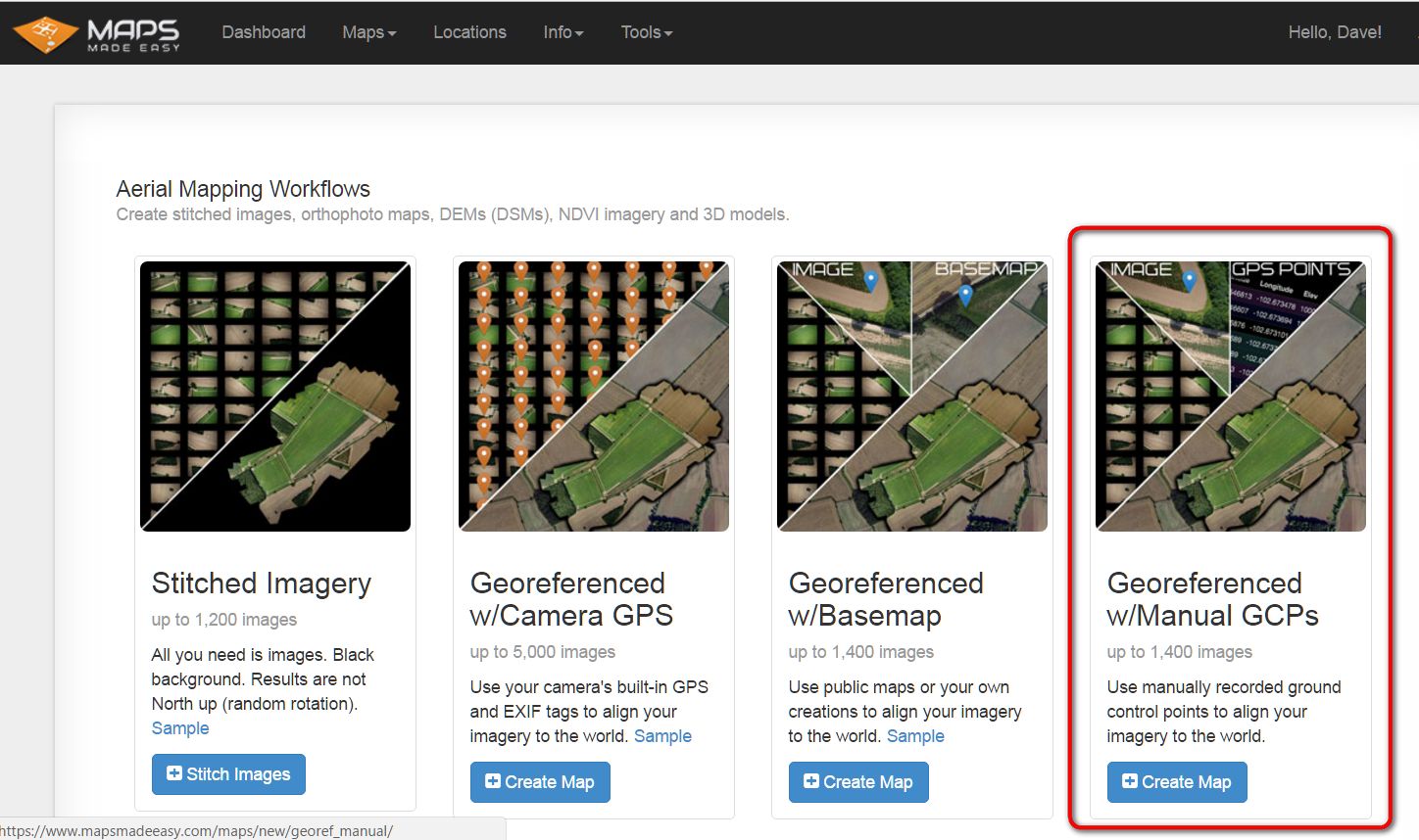
The reconstruction's accuracy is heavily reliant on the accuracy of the geotags in the images. The manual GCP process is really only meant for referencing untagged images and shouldn't be used as a way to get more accurate referencing.

Zane
टिप्पणी क्रियाएं Permalink

कृपया टिप्पणी करने के लिए साइन इन करें करें.

2 टिप्पणियां

0
Avatar

When you start a new map  you can choose the option

"Georeferenced w/Manual GCPs"


Dave Pitman 0 वोट
टिप्पणी क्रियाएं Permalink