

You may have to reload the page to get the KML Annotations link to have all of your most recent annotations in it.
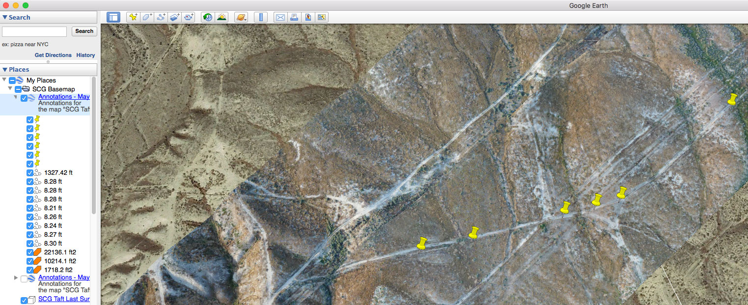
The volume and length measurements will show up in the tree on the left side of Google Earth. The KML will have the map's name and all drawn elements. The pushpins are Google's way of showing the locations of the blue markers from Maps Made Easy.
Polygons will be orange. Lines will be white.
टिप्पणी क्रियाएं