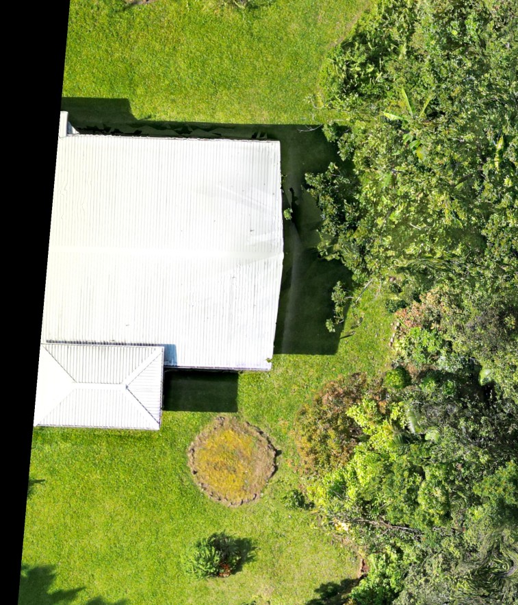
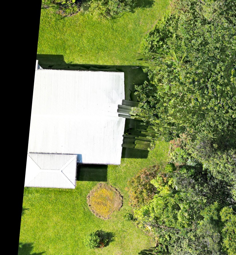

It appears the model was slightly rotated in the bottom output. You can see this more clearly in the elevation layer. There is some randomness in how the images are loaded which could have affected things. We would have to look at the other map detail to tell you more.
There is a lot of sunlight return in the source images in the vegetation and that can affect things.
Actions pour les commentaires