
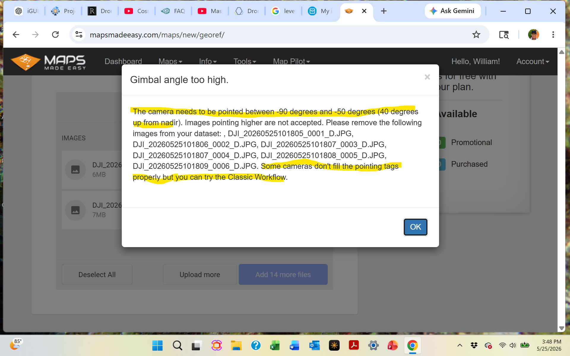
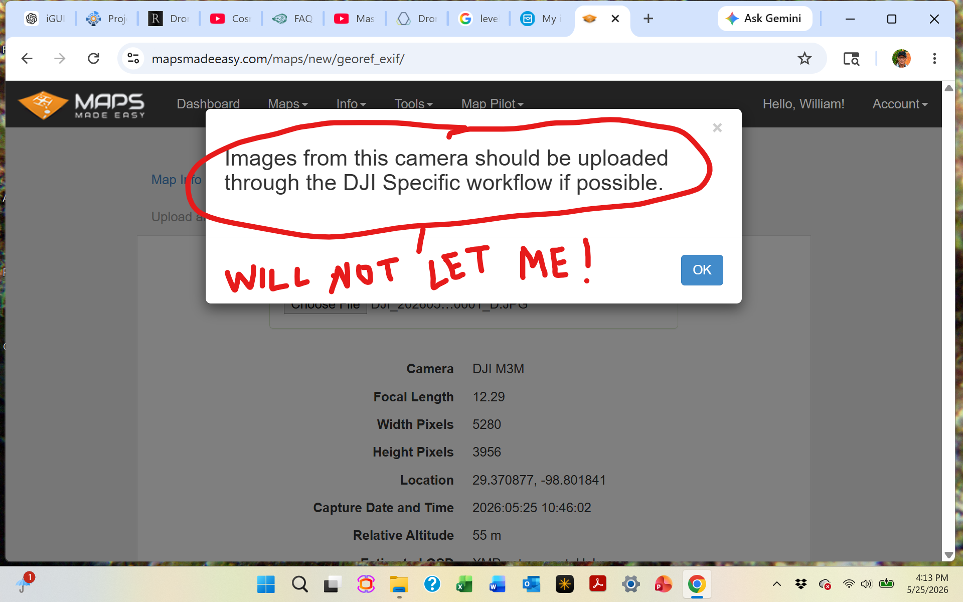

The images you collected must have the gimbal angle set to high so the images cannot be used with the DJI Specific workflow. The M3M is not compatible with the classic workflow since people were using some weird collection mode in the DJI app that was looking backwards and forwards during flight and the tags were not populated in a way that represented that accurately so we had to shut it down for that aircraft.
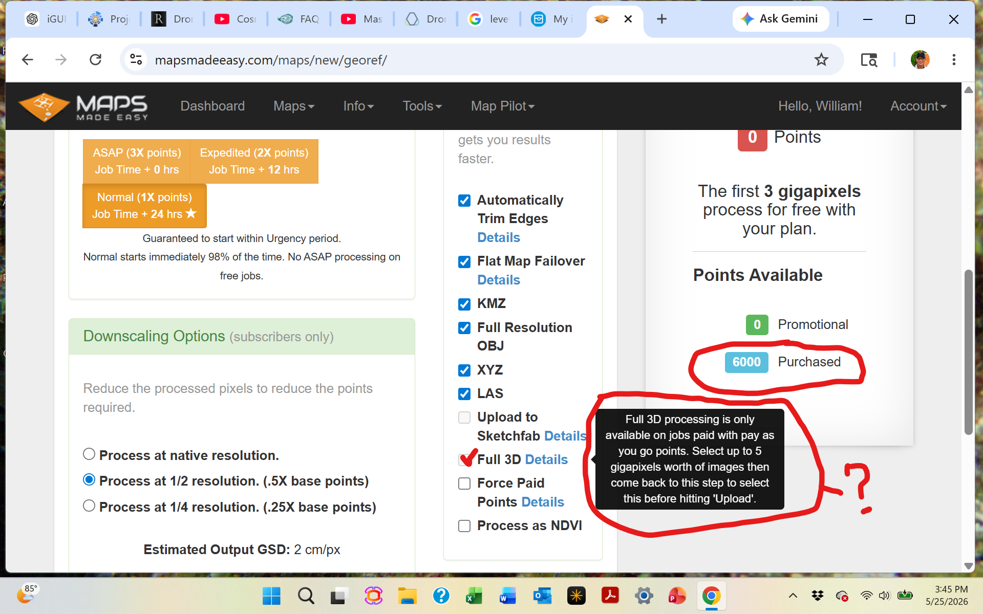
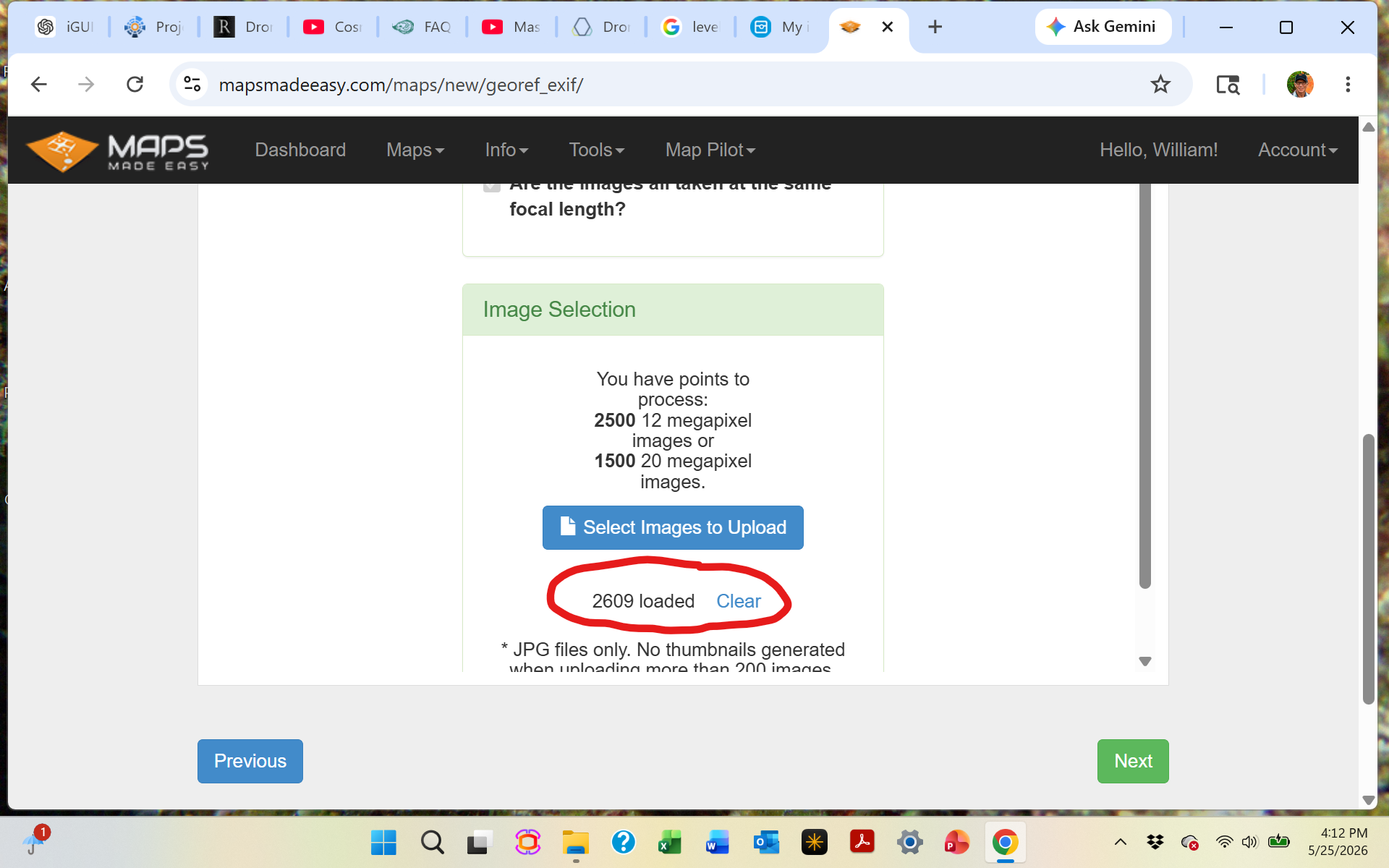
Also, the Full 3D rendering only works with 5 gigapixels worth of imagery or less. That is roughly 250 20 megapixel images.
We highly recommend using Map Pilot Pro for your data collection. The Pilot app from DJI will let you do all sorts of goofy stuff that gives bad results. They don't care since they aren't processing it.
Acciones de comentarios