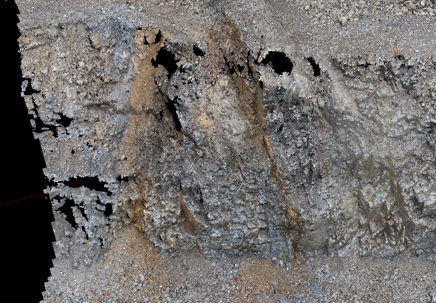
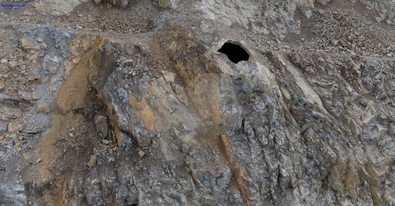
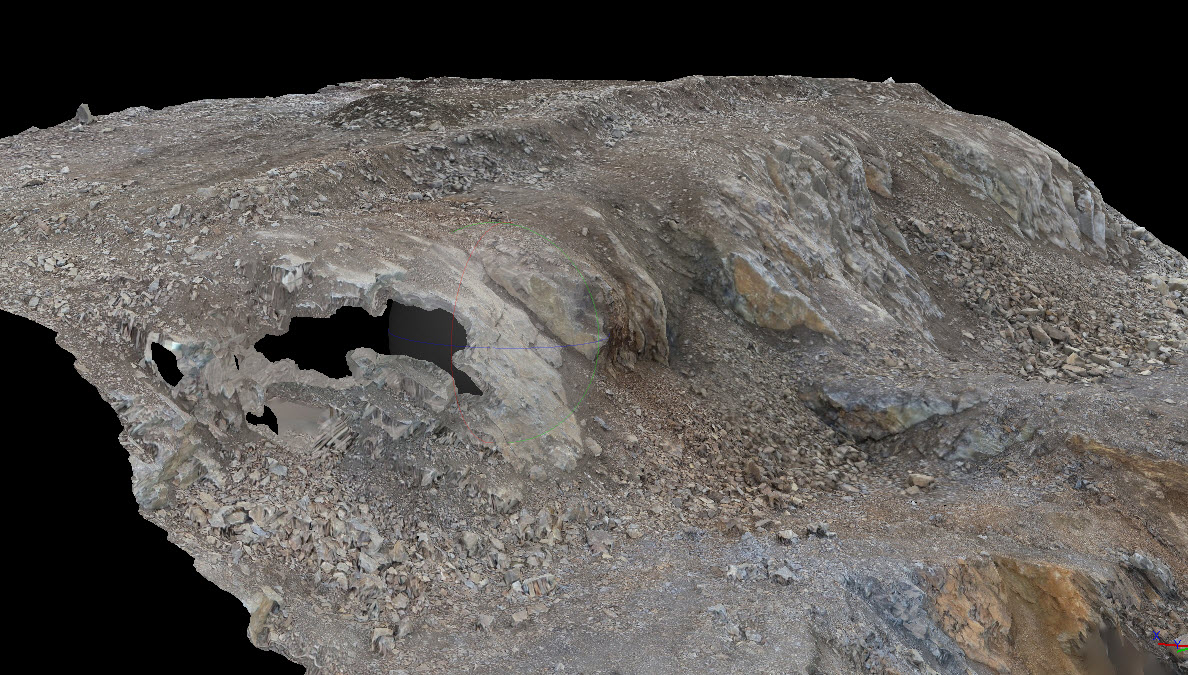
You are probably best off adjusting the angle of the camera manually by using the left wheel on the remote in these areas. Map Pilot is optimized for covering horizontal surfaces. Anything beyond that should be considered a manual task. Changing that angle will greatly affect the rest of the coverage.
Post
FollowCamera angle
Hi there
I am wondering if it is possible to have the range of camera shooting angle expanded from nadir to full perpendicular to flight path?
Currently oblique angles reach 30 degrees. I fly open pit mine vertical walls and the point clouds still miss detail in steep vertical faces
My work flow is flying using a custom DEM of the benches and oblique 30 camera setting in a grid mission. If this could increase to fully perpendicular I could get a much better point cloud and final surface (without holes) of vertical walls
Is this possible to add to MapPilot camera functionality?
I attached images of a bench with point cloud and model holes 


Please sign in to leave a comment.
1 comment
Comment actions