
تعليق رسمي

You situation is almost identical to this post from Monday:
https://support.dronesmadeeasy.com/hc/en-us/community/posts/6624875874324-Downloaded-JPG-Image
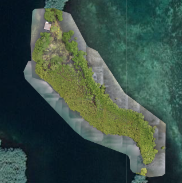
All of your images were received and processed. Your issues is that your entire map was trees and water, both of which are warned about in the Data Collection guidelines that are agreed to at the time of upload. You would have had to use 80+% overlap to get the trees to turn out well (it looks like you used 70-ish%) and the water would have been iffy no matter what.
Our system filled in the areas that couldn't be included in the photogrammetric reconstruction using our Flat Map Failover. This outputs ends up in a separate file. To combine the outputs you have been provided into a single image you would need to work with the GeoTiff and Patch GeoTiff and combine them.